
Not a history map – Not a land map – Not cartography – A political weapon for the present
 Maria Rigoni26/09/20269 Mins read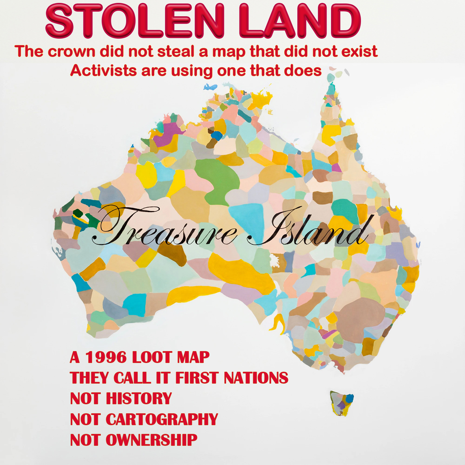
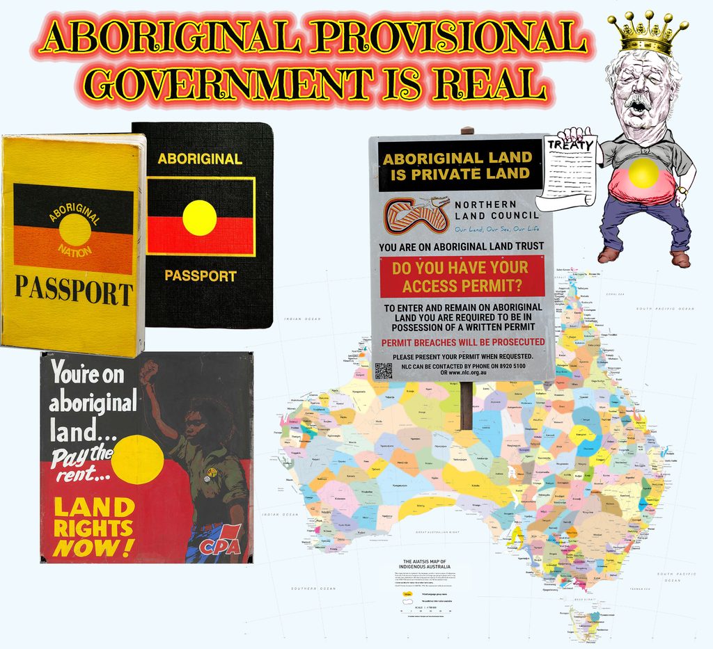
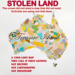
David Horton’s AIATSIS map is a late-20th-century collage of language groups and fuzzy lines drawn from published sources up to 1994. AIATSIS itself says David Horton’s map is not exact, not definite, borders are deliberately blurred, sources were contested, and it is not suitable for political aboriginal native title or political aboriginal land claims. It was complied from published papers for a general audience – then hung on walls as if it were a title deed.
They call it First Nations. It is a drawing. Australia is the treasure. It is now waved as a treasure map: “X marks every paddock.” The story sold is that the Crown stole First Nations land. The map is being used the other way: to carve Australia into claims and lock ordinary Australians off their own country.
A picture drawn in 1996 is not 1788. A language sketch is not a title deed. A classroom poster is not sovereignty.
The most revealing map did not crawl out of Norman Tindale or David Horton. It crawled out of a statute.
Map 1 — Norman Tindale (1974, with a 1940 ancestor)
Fieldwork. Hard lines. “Tribes as I could plot them near contact.” A scholar’s reconstruction. Not a title deed. Not a parliament.
Map 1 is Norman Tindale’s job, not a magic window onto 1787. He spent decades walking, talking and scribbling — the big 1940 sheet came out of the Harvard–Adelaide expedition and years of fieldwork; the famous 1974 wall map was the tidy reprint with his book. Hard lines. Named “tribes.” A scientist trying to plot where groups sat near the time of contact, using living people, old notes and a lot of educated guesswork. That is reconstruction. It is not a photograph, and it is not a royal survey.
Norman Tindale never handed anyone a title deed. He never sat a parliament. He drew borders the way a museum man draws them: useful, arguable, and already out of date the moment the ink dried. Names shift. Groups split. People move. A line on paper is a scholar’s bet, not a constitution. Treat that map as holy writ and you have already left the library and walked into the souvenir shop. So when later storytellers trace over Norman Tindale, soften the edges, slap on “nations” and talk kingdoms, remember what Map 1 actually was: one bloke’s best shot at near-contact tribes, sold as a research tool, not a charter for nobles. Fieldwork. Hard lines. A reconstruction. Anyone selling it as a pre-1788 parliament is selling the frame, not the picture

Map 2 — David Horton / AIATSIS (1996)
Encyclopaedia poster. Norman Tindale in the stew plus other published sources. Fuzzy blobs. The word nation gets sewn on. Disclaimer: not exact, not fixed, not for native title. Hung everywhere anyway.
David Horton did not hop in a time machine and wander around Australia in 1787 with a clipboard. He was a zoologist and paleoecologist who, in the late 1980s and early 1990s, sat down with Norman Tindale’s 1974 tribal map, laid a big sheet of tracing paper over it, and then rummaged through published books, theses and linguists’ papers available up to 1994. That is the whole trick. The pretty coloured wall map sold by AIATSIS from 1996 onwards is a late-twentieth-century collage, not a photograph of pre-settlement Australia.
And yes, it was a commercial product. The Encyclopaedia of Aboriginal Australia was a paid publishing job. The map was peeled off, printed in A3, A1 and A0 sizes, folded or flat, and flogged as a “perfect take-home product for tourists.” Aboriginal Studies Press still sells it. An organisation that needs the world to see neat coloured “nations” on every classroom wall, BP outlets, council foyers and souvenir shop rack has every reason to keep the poster in print. That is not a conspiracy theory. That is a shop catalogue.
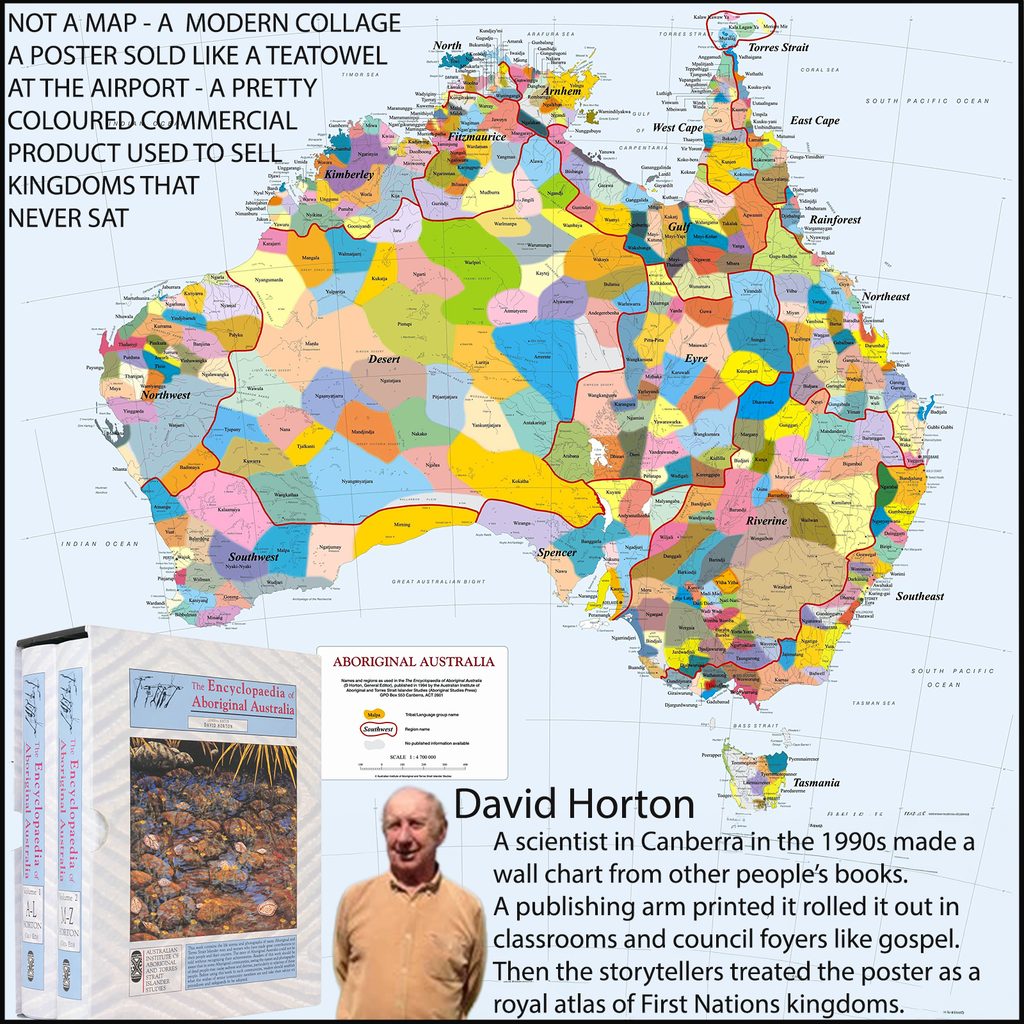
The hoodwink is what happens after the printer’s ink dries. David Horton’s own disclaimer says the blobs are only “general locations,” the borders are not fixed, and the thing is “not suitable for native title.” Then the same poster gets treated like a royal atlas of First Nations kingdoms — as if each fuzzy patch was a sophisticated noble realm with palaces, tax collectors and a standing army. Pre-1788 Australia had language groups, clans, ceremonial networks and hard lives of hunting, gathering, raiding and moving with the seasons. It did not have kingdoms. Calling a forager band a “nation” on a $24.95 poster does not turn a spear into a sceptre.
Norman Tindale’s original map was already a reconstruction. He spent decades talking to people in the twentieth century and reading older records, then drew lines he hoped reflected the situation before Europeans arrived. David Horton copied the method, softened the lines into “fuzzy colours,” bundled groups into 18 regions, and handed the result to a government-funded institute that sells it. Two layers of educated guesswork, one commercial print run, and suddenly schoolkids are staring at a continent that looks like Europe after the Treaty of Westphalia. That is storytelling with a barcode.
The con works because the map is beautiful and simple. Real history is messy: names change, groups split and merge, people move, languages die, missionaries and police and pastoralists scramble the record long before 1994. David Horton’s poster irons all that out into tidy colours so the story can be sold — not as “this is our best guess from books written after the fact,” but as “look, the first peoples were always nations.” If you want the honest version, read the fine print on the map itself. If you want the kingdom version, buy the poster and hang it next to the merch.
Map 3 — National Native Title Tribunal determinations map
This one is a court-and-register map. It exists because of Mabo (1992) and the Native Title Act 1993. The Act created the Tribunal to keep registers and help the Federal Court process. The map is the picture of those registers: applications on the schedule, registered claims, and determinations of whether native title exists (exclusive), exists (non-exclusive), does not exist, or was extinguished. It is updated from court orders. By mid-2025 the determined area was about 55 percent of Australia’s land mass — plus a lot of sea — and that is property-law paint, not a David Horton colouring book.
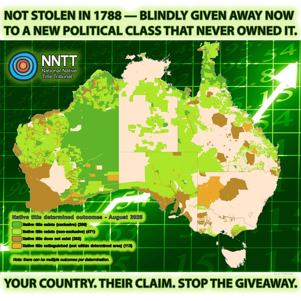
So: Norman Tindale tried to draw people. David Horton drew a gift-shop “nation.” The NNTT draws outcomes under Australian law. Different animal. Different father.
Three maps. Same continent. Watch the switch.
Norman Tindale. Notebook. Lines. “Here’s the mob I could name.” Argue with him. At least he was measuring.
David Horton. Cloth goes on. Fuzzy nations. Missing cousins in Far North Queensland. Fine print: do not take this to court. Take it to the airport instead.
“Keepa dancin’, Maria!”
Welcome to Wurundjeri Woi-wurrung of the Kulin Nation — Melbourne can wait. ABC weather. Landline. School wall. The poster becomes the country you hear before the country you live in.
Then the third map walks on from the wings and nobody claps, because it looks like a mining tenement chart. Green where exclusive native title was determined. Other greens and browns where it is shared, gone, or never found. Blue where a claim is still on the books. That map did not come from “Country.” It came from s 225 of the Native Title Act: who holds what rights, against which other interests, and whether anyone else is locked out. Crown sovereignty, at face value, stays. Native title is a bundle the court can recognise, clip, or find extinguished. It is not a second Australia hiding under Article 46.
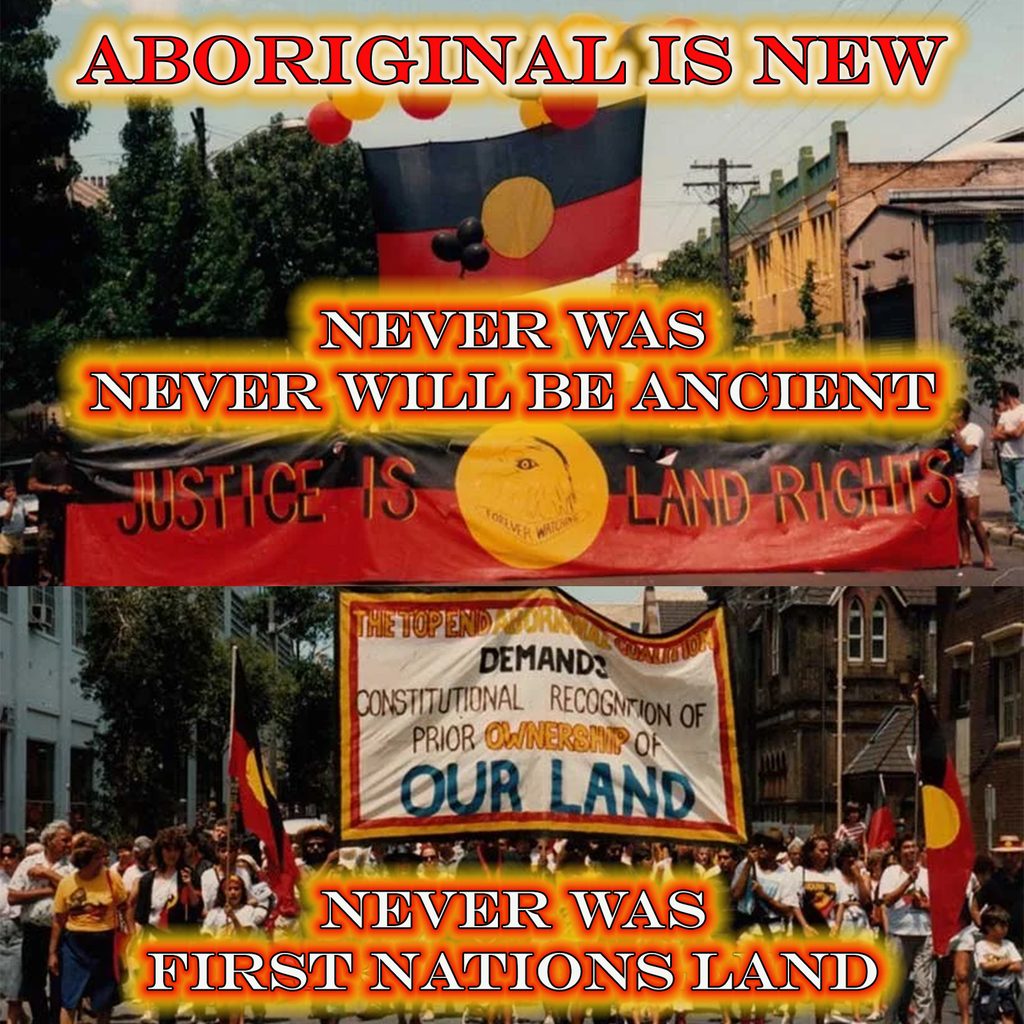
Luigi the Incredible’ s whole act is to make you treat Map 2 as if it were Map 3.
Map 1 is anthropology.
Map 2 is wallpaper.
Map 3 is the only one that can tell a bank, a farmer or a court where the hell the legal interest actually sits.
The con is hanging the poster, calling the blobs nations, pointing at Article 46 — “we’re not breaking up the country” — while the audience never looks at the register map that admits native title is patchy, overlapping, extinguished in cities and farms, and still a creature of Australian statute. History never leaves maps alone once you invent a parallel people with the right to choose their own status. First you change the poster. Then you hope nobody asks where the third map came from.
This is not a theory, and it is not Mabo wearing a false moustache. Different statute. Same Luigi.
Naremburn’s Talus Street courts have been told to be out by 30 September. The Metropolitan Local Aboriginal Land Council took the Crown reserve in 2022 under the NSW Aboriginal Land Rights Act 1983, then issued the keys-please notice. Bondi Icebergs and a string of eastern-beaches clubs sit on claim lists from La Perouse LALC. Waverton’s bowlo was transferred after a Land and Environment Court fight and has sat rotting while the new owner tripped over a second legal net — federal native title process after the state grant. About 44,000 NSW claims were still in the queue late last year. That number is the Land Council peak’s own backlog figure, not a High Court census.
Hold the three maps still.
Norman Tindale tried to draw tribes with a notebook.
David Horton turned that into gift-shop nations and hung it on the school wall. AIATSIS still says: not for native title.
The NNTT map is the only one born of Mabo and the Native Title Act 1993 — court determinations: exclusive, non-exclusive, does not exist, extinguished, still claimed. Property law. Patchy. A creature of Australian statute. Crown sovereignty stays.
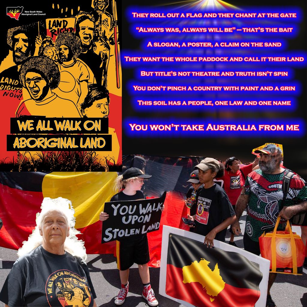
The tennis club is not on Map 3 because the High Court ordered a nation inside Naremburn. It is on a fourth machine: Frank Walker’s 1983 Act, which lets Land Councils claim leftover Crown land as compensation. Unused reserve. Technical vacancy. Invalid sublease. The statute treats public leftovers as reparations for a single Aboriginal estate — as if NSW were one polity waiting for the deed. Mabo is then waved about like the warrant. It isn’t. Mabo did not write the 1983 Act, did not invent Land Councils, and did not say equal citizens must hand the surf club to a poster-nation.
“Keepa dancin’, Maria!”
Don’t look at which map is which. Look at the Welcome to Country. Look at Horton’s blobs on the weather. Look at Victoria’s Statewide Treaty, Gellung Warl, the Assembly speaking UNDRIP’s line: a people that freely determines its political status. That is Map 2 promoted to furniture. Victoria is not evicting Icebergs next Tuesday. It is building the political body that makes the poster feel like law while Article 46 swears the country stays whole.
Equal citizenship built those clubs — rates, working bees, the same rule book for every member. The new deed wants the keys. NSW does it with a 1983 claim form on Crown dirt. Victoria does it with treaty language and a parallel institution. Same act. Different prop. The audience is told it is Map 3. The rabbit coming out of the hat is Map 2, and the clubs are standing on the trapdoor.
You have landed on the hole in the stage floor.
Who is an Aboriginal?
Australian law never gave you a survey peg. The working model is the old three-part administrative test: some descent, self-identification, and recognition by a community that also self-identifies. The High Court has circled it. It has not issued a lab result. UNDRIP Article 33 then says the group decides membership. So the rights attach to a people the UN would not define and the court will not count. Fuzzy in, nation out.
Compensation for what, exactly?
Native title, when it exists, is not a vibe. It is a bundle of legal rights that survived if traditional laws and customs kept a connection, and if the Crown did not extinguish it. Brennan’s “tide of history” is the line everyone pretends is poetry. In Yorta Yorta the court used the same idea in hard English: where acknowledgment of traditional law and observance of custom have washed away, native title is gone. Freehold extinguishes it. A city tennis court, a licensed ocean pool, a bowlo on a Crown reserve used for recreation for decades — that is not Meriam gardening on Mer. That is the tide. Map 3, the NNTT register, is full of brown and beige for a reason: does not exist and extinguished.
The NSW 1983 Act does not even ask that question. It is not a native title continuity trial. It is a statutory grab at leftover Crown land for Land Councils, sold as payback for a single Aboriginal estate — a David Horton nation that Norman Tindale never surveyed and Mabo never declared. Wave Mabo over Bondi and you are doing Luigi’s job. The High Court did not order the Icebergs handed over because a self-identified people proved unbroken law on the rocks. A 1983 form said the reserve was claimable.
So the con in one breath
Invent a people the law will not define.
Hang David Horton’s poster so the people look like nations.
Point at Map 3 when you need respectability.
Take the keys under a different statute when Map 3 would say the title is gone.
Victoria’s treaty then gives that undefined people a permanent political status inside the state and swears Article 46 keeps the map still.
Equal citizenship built the club. The new deed wants the keys for a claimant category that can grow by recognition. Compensation, in these cases, is not for living native title. It is for a poster, a slogan, and a blank the High Court left fuzzy on purpose.
Keepa dancin’, Maria.
Don’t look at who is in the box. Look at the Welcome to Country. The tide already went out. The claim is for the beach anyway.

Related Articles
Bluey’s Land, Title of Steel
They roll out a flag, and they chant at the gate,“Always was,...
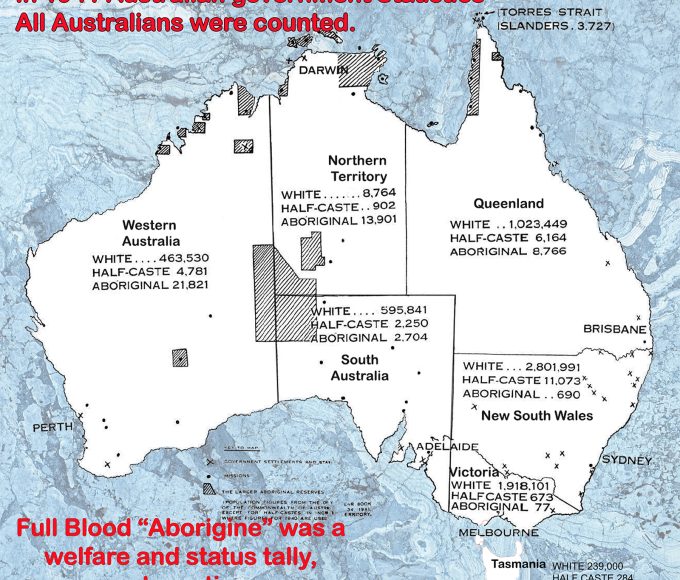
History Never Leaves Maps Alone After You Invent One Aboriginal People With the Right to Choose Their Own Status
Has any Australian parliaments ceded our country’s sovereignty to an Aboriginal nation...
Oh, Here We Go Again: Political Aboriginal Academics Claim High Court Got Australia’s Sovereignty Wrong
Sovereignty isn’t a legal footnote—it’s the bedrock everything else stands on. Because...


Why Can’t an Everyday Aussie Buy a Block in Beautiful Beagle Bay? Aboriginal Land Rights, Mate – ‘No Entry’ to Everyday Aussies!
Australian taxes build ‘Aboriginal Land’… then the political Aboriginals charge you to...
